

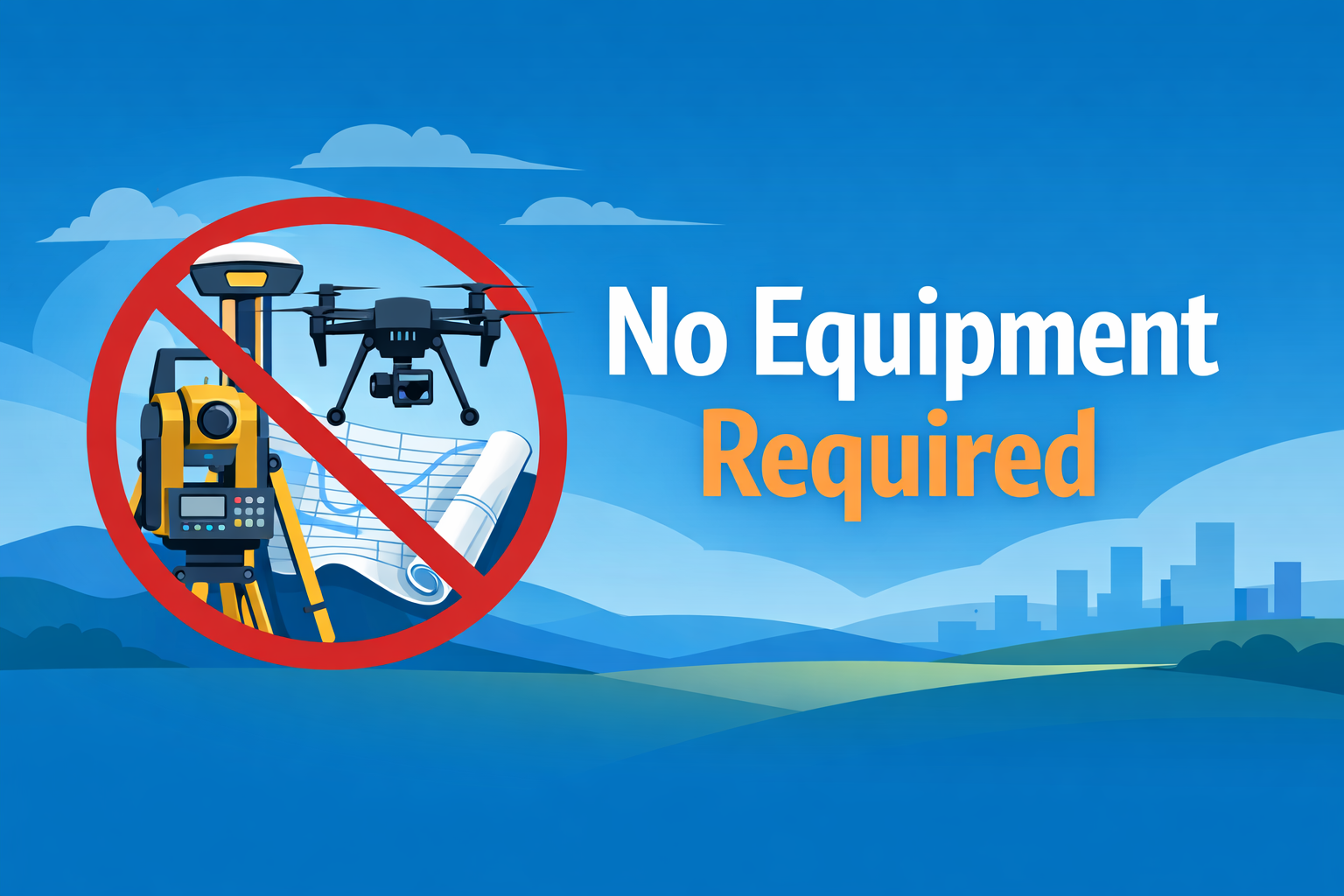
Aerotas Atlas is a premium all-in-one mapping solution, delivering beyond-survey-grade maps to engineers and surveyors
Why Atlas?
-
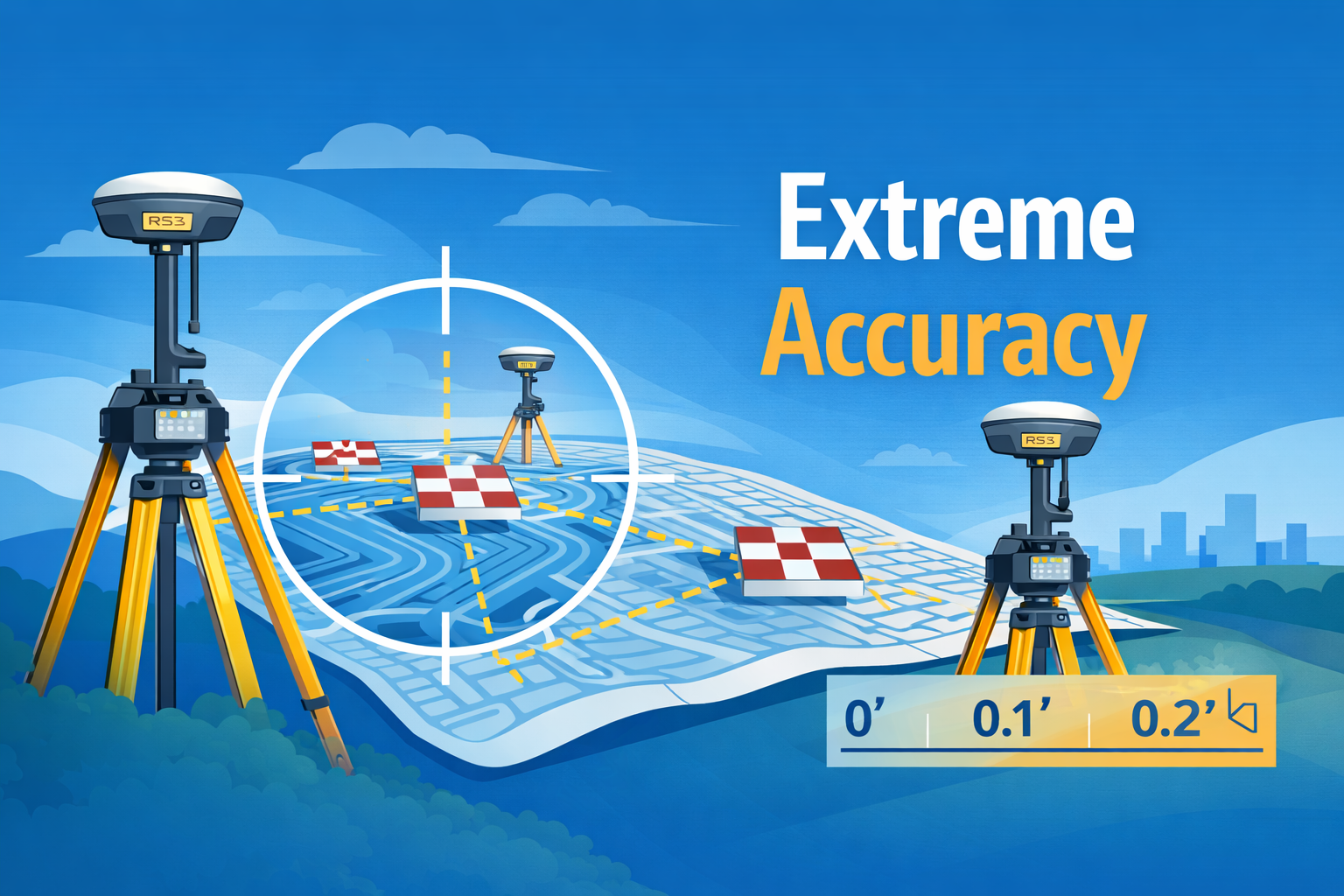
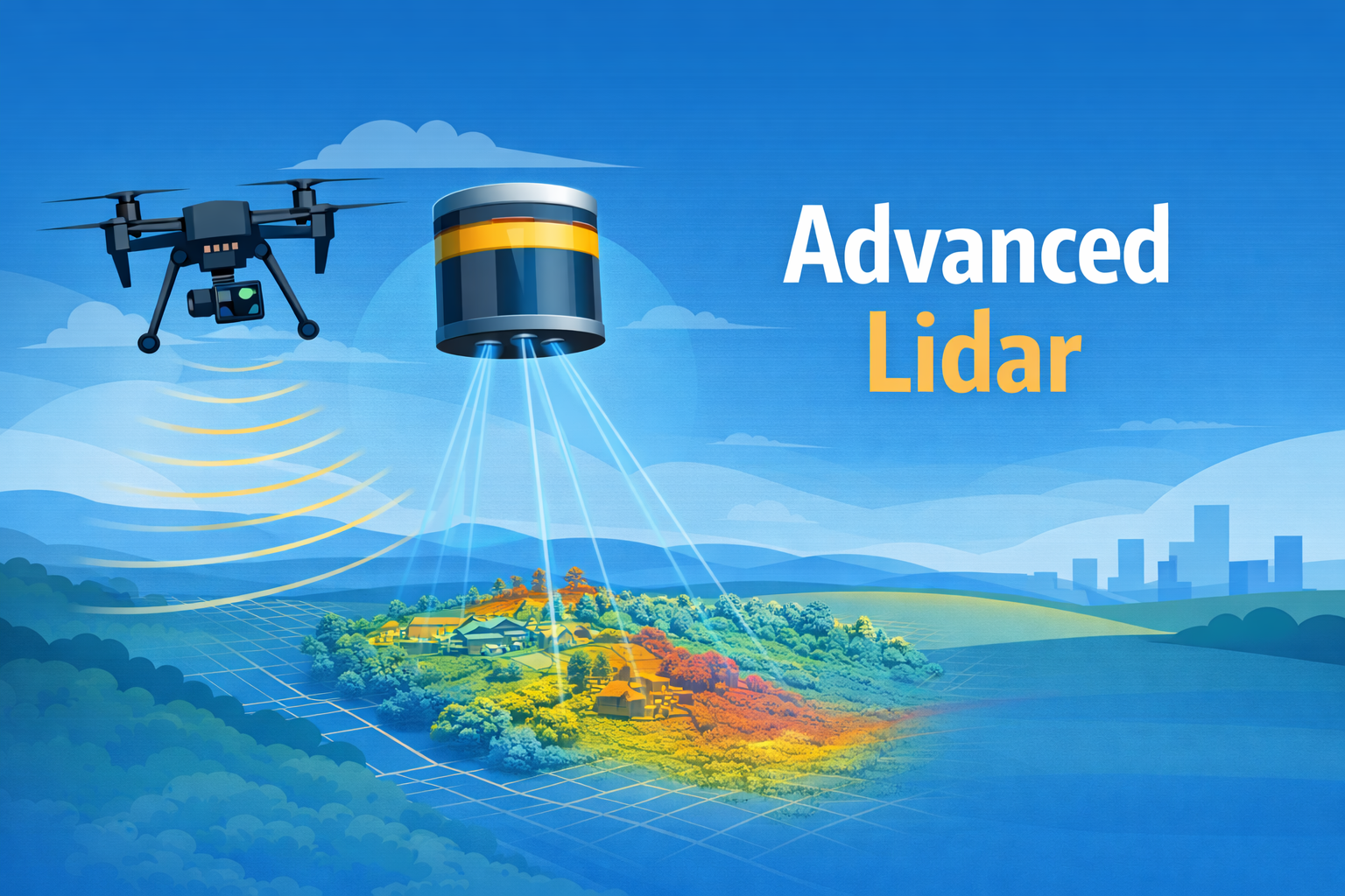
Aerotas has created tens of thousands of aerial maps over 10+ years. We know that accuracy is not a “nice to have”, it is a must. Accuracy lies at the core of everything we do. Every Atlas project combines data from multiple GNSS sources, Photogrammetry, and Lidar, ensuring world-class accuracy, better than 0.1'. We also include ASPRS tested accuracy statements on all projects. And if that isn’t enough, we’ll even show you how to test it yourself so you don’t have to take our word for it.
-
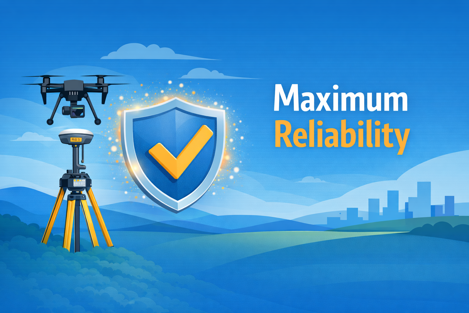
Nothing slows down a project more than bad data and site revisits. This is not a problem with Aerotas Atlas. Every project utilizes our proprietary redundant workflows, to ensure that a project gets quality data, no matter what. Our workflow is designed to ensure extreme redundancy so that no single point of equipment failure will ruin project data. Our methodology has been tested and used in the most remote parts of the world, and is still capable of providing beyond survey-grade accuracy, even on the most challenging sites.
-
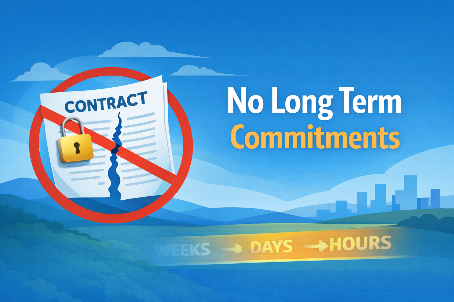
Serious aerial surveys used to take months of coordination and planning, but not with Aerotas Atlas. Total project duration is typically under a week. We can deploy teams to collect data next-business-day for most projects in the Southern California area, or slightly longer for the rest of the country. We will be expanding our next-day availability to additional regions later this year.
-
Aerotas Atlas is unlike any survey map you’ve ever used before. Aerotas has stacked technological improvements over the course of 10k+ projects that have culminated with the Atlas solution. From our redundant GNSS data, to the quality of our lidar, to point cloud classification, imagery compression, surface modeling, data manipulation, and more. At the end of the day, the proof is in the final product. Engineers simply love our products more than any other available maps. The best way to know is to seefor yourself.
Ready to Start?
Sign in or create a free account to request a quote.

What you Get
Aerotas Atlas delivers a complete map in CAD format. The map is delivered in a CAD file that includes drafted linework of all meaningful features on a project site on separate layers, along with high-resolution, current imagery of the project site, and a clean, drafted topographic TIN surface, along with contours.
Our deliverables are generated from a mix of ground-based GNSS data, aerial photogrammetry, and aerial lidar. In addition to the core deliverable, clients also get access to all of the intermediate files used in the production of the deliverables, including raw imagery, lidar point clouds, GNSS observation files, and more.
To download sample deliverable files, you have to be logged into the Aerotas web app.
Sign in, or create a free account below.
How It Works
You give us a project boundary, and we handle the rest.
Setting and Measuring Ground Control
Aerial Lidar & Photogrammetric Data Collection
Advanced GNSS Processing
Photogrammetry Processing
Lidar Point Cloud Manipulation
Accuracy Verification
Linework Drafting

Frequently Asked Questions
-
Once you log into the Aerotas Web App, Aerotas Atlas will automatically appear for eligible customers in the menu bar. To request a project, simply upload a KML boundary of the project area, and answer a few questions about exactly what you need. Aerotas takes care of the rest.
-
We try to make project pricing as transparent as possible. However, projects do vary in cost depending on the project size, the complexity of the project, and the required turnaround time.
As with other Aerotas offerings, all projects are fixed-price and quoted in advance. When you request a quote, Aerotas will give you a number of options with clear fixed pricing that you can choose from. Once you accept the quote, Aerotas will get working immediately.
-
Aerotas Atlas will deliver a final map in CAD format. The final deliverable will be generated from a mix of ground based GNSS data, aerial photogrammetry, and aerial lidar. This includes a full, clean, 3D topographic model of the site, a high-resolution orthophoto, and cleanly drafted linework of all meaningful features on a project site.
-
Aerotas drafting is done by people. While we do use a number of AI and machine learning tools to improve the efficiency of our data analysis in a number of different ways, AI and automated drafting simply isn’t yet up to the quality standards that Aerotas and our customers demand. Our experts remain more accurate and more reliable than any current AI system.
-
All projects include high precision multi-constellation dual-band ground based GNSS observations, aerial photogrammetry, and aerial lidar, with included dual-band aerial multi-constellation GNSS antennas. Specific hardware for any give project may change depending on logistics and availability.
-
Right now Aerotas Atlas is limited to customers in California, Arizona, and Nevada. We plan to expand nationwide later this year.
For legal reasons, Aerotas Atlas products can only be offered to licensed land surveyors or engineers, or when performed in conjunction with licensed surveyors or engineers.
-
All projects are a tenth of a foot (0.1’ or 3cm) or better, as measured by the ASPRS positional accuracy standards. When the final project is delivered, accuracy measurement details and information will be provided.
-
Aerotas will set and measure ground control using dual-band base and rover GNSS setups, including an OPUS solution, for every project. Licensed surveyors are free to set their own ground control, and Aerotas will use the provided surveyor’s ground control in the final deliverable. However, even with customer provided ground control, Aerotas will set our own additional control for quality assurance and overall project resilience.
-
Projects are, by default, delivered in NAD83(2011) State Plane Coordinate systems in US Feet, with a vertical datum of NAVD88 Geoid 18. Clients who need to use their own coordinate systems can supply their own ground control in their own preferred coordinate systems, and those will be used in the final project deliverable.
-
Yes. Aerotas fully supports all coordinate systems, including fully local or custom coordinate systems.
-
No, Aerotas is not a licensed land surveyor. We provide mapping services to land surveying and engineering firms. Land Surveying is a highly regulated profession that requires highly trained and licensed surveyors to create sealed surveys. Aerotas Atlas is not available to the general public without involvement of a local licensed surveyor.
-
Aerotas Atlas can be used as the foundation for an NSPS / ALTA survey, however the Aerotas Atlas product is, by itself, not sufficient to be an ALTA survey. A local land surveyor must be involved to create a final ALTA survey for a project.
-
There is no strict minimum or maximum, as Aerotas will fly any site, no matter how big or small. However, we find that typically, anything less than 0.25 acres is too small for Aerotas Atlas to be beneficial. Further, any project greater than 2,000 acres is often better served by alternative methods.
-
Aerotas Atlas is currently only available in the continental United States. Aerotas is not a licensed land surveyor. We provide mapping products to land surveying and engineering firms. Land Surveying is a highly regulated profession that requires trained and licensed surveyors to create sealed surveys. Aerotas Atlas maps are not legal surveys in isolation, but can be a part of a final survey when a licensed surveyor is involved. Aerotas Atlas is not available to the general public without involvement of a local licensed surveyor or engineer. Laws and regulations vary by region. Consult your local board of engineering or surveying for complete details.