1
2
3
4
5
6

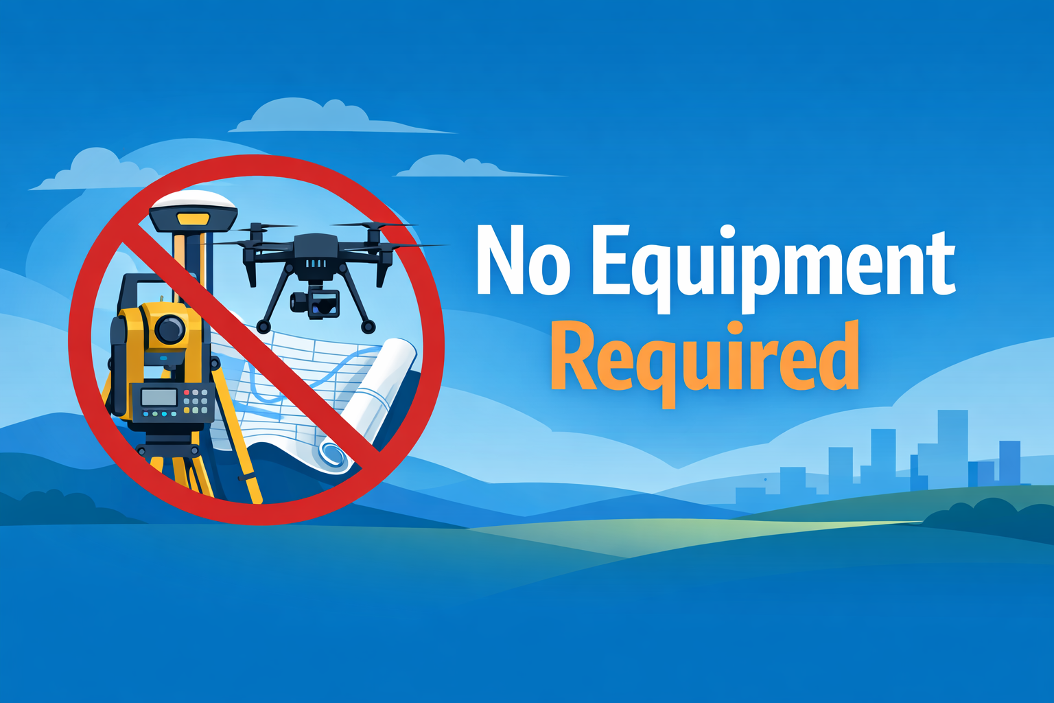
No Equipment Required
Just tell us where you need a map. Aerotas brings all the equipment required, including advanced multi-constellation dual band GNSS, Photogrammetry, Lidar, and more. We handle all the data collection and processing requirements.
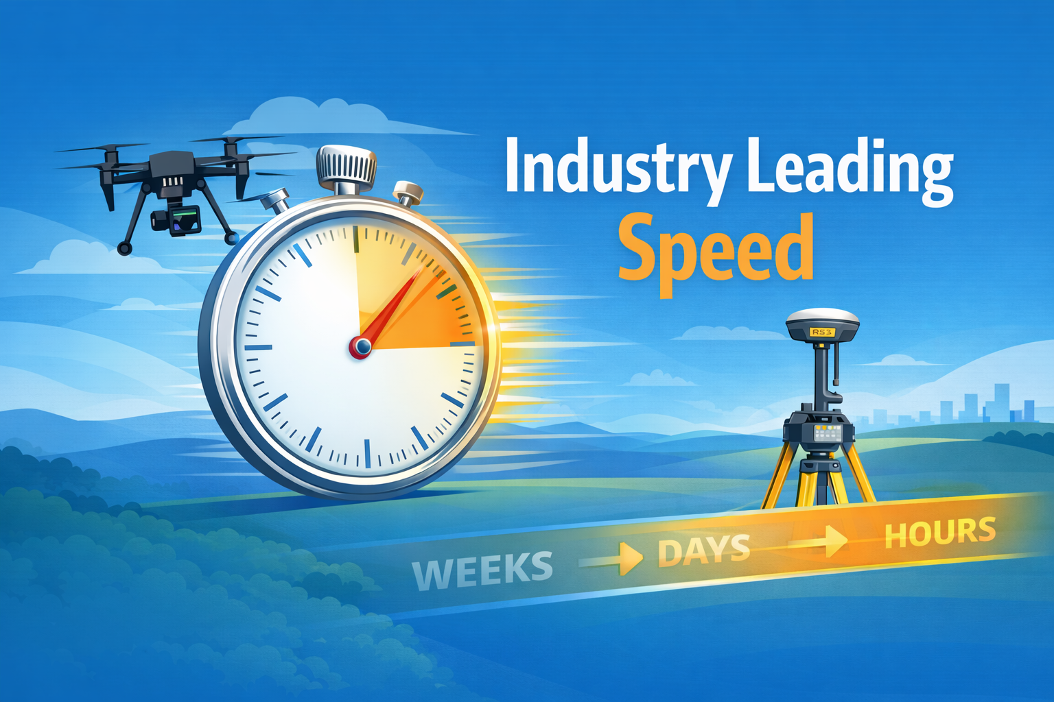
Industry Leading Speed
Getting your project done on time matters. We deploy our teams to collect data fast, ensuring that your projects get done on time. While many firms may take weeks or months to complete a project, we deliver most maps in days, or sometimes hours.
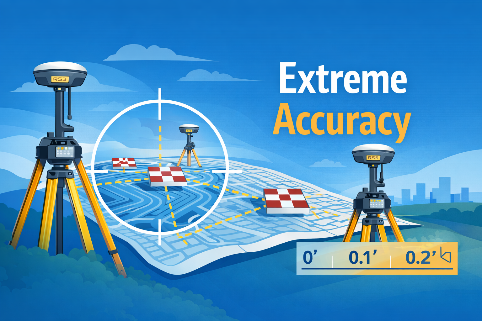
Extreme Accuracy
Every project combines data from multiple GNSS sources, Photogrammetry, and Lidar, ensuring world-class accuracy, better than 0.1'. We also include ASPRS tested accuracy statements on all projects. And if that isn’t enough, we’ll even show you how to test it yourself so you don’t have to take our word for it.
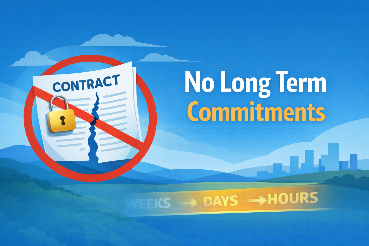
No Long Term Commitments
You don’t need to sign up for long term plans, or invest in expensive equipment or hardware. Everything is quoted, in advance, on a per-project basis. That means you can stay on budget, and not have to worry about excessive contracts or fees.
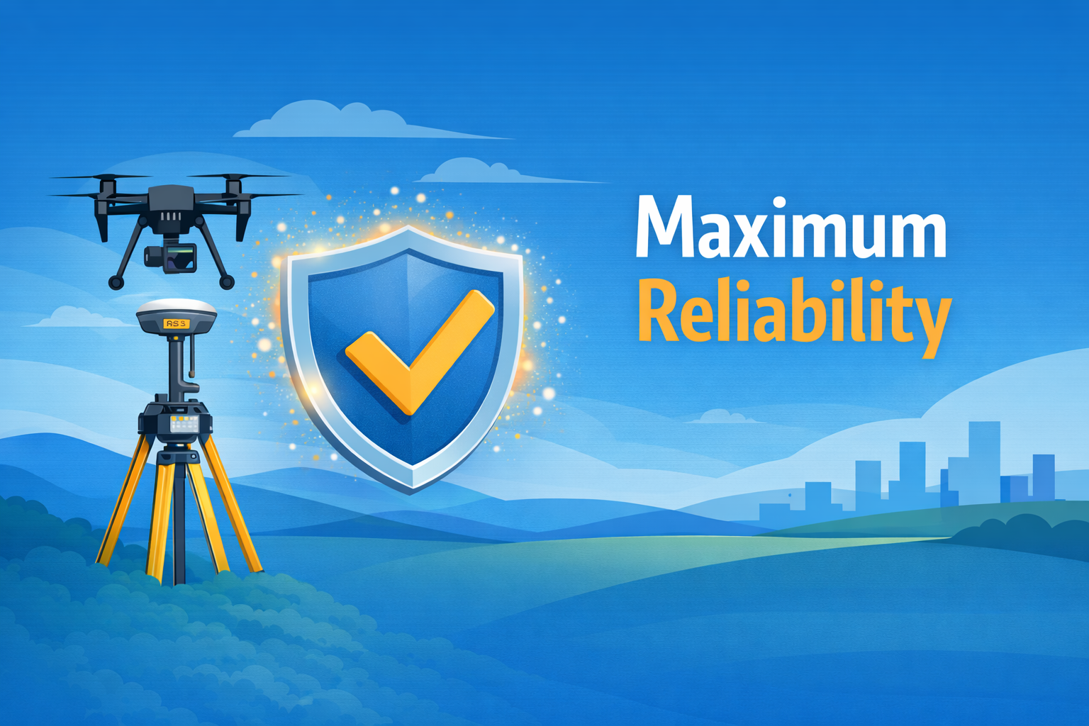
Maximum Reliability
With Aerotas Atlas, every project will be completed accurately, the first time. Our proprietary workflows are designed to operate anywhere in the United States, regardless of project size, terrain, cell coverage, or other signals. And by combining GNSS, Photogrammetry, and Lidar, we have the redundancy to always get you good date, even on tough projects.
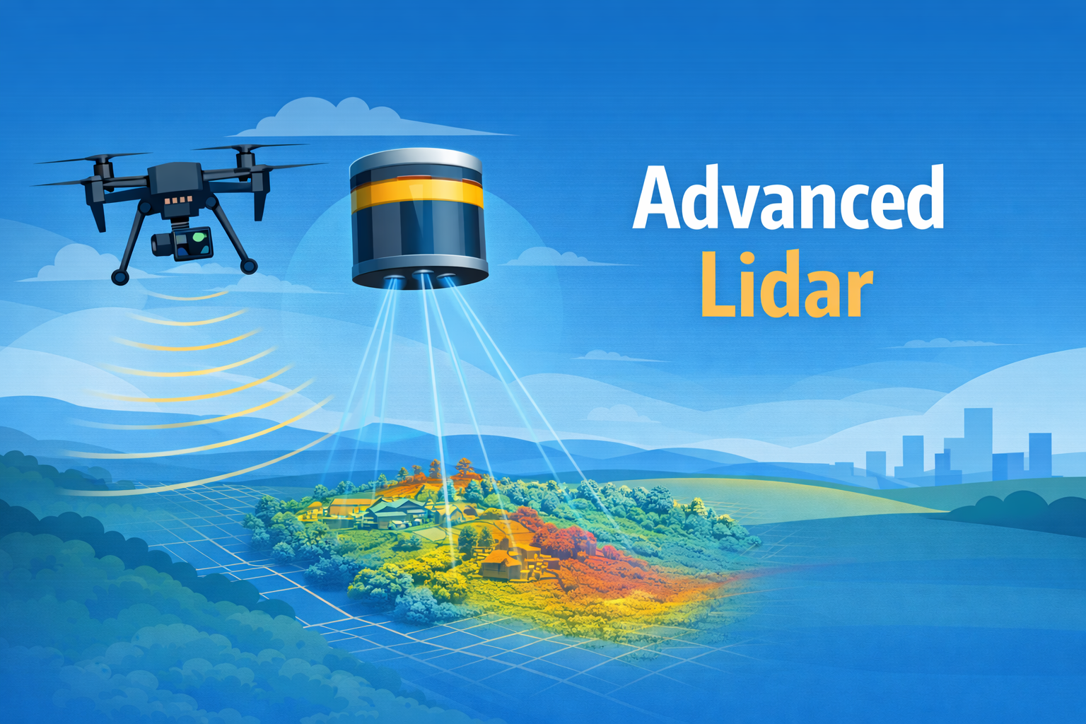
Advanced Lidar
Lidar brings every project a whole new level of accuracy, detail, and reliability. We scan every project with Lidar to ensure full coverage of every project, every time.