Products
Linework
PLS-CADD
Hardware
GCPs
Learn
Resources
Training
Blog
Sign Up/Sign In

Aerotas: Drone Data Processing for Surveyors

Products
Linework
PLS-CADD
Hardware
GCPs
Learn
Resources
Training
Blog
Sign Up/Sign In
December 8, 2025
Guest User
[Webinar] The State of Drone Surveying: A ...

In one hour, we’ll show you exactly what changed in 2025 that will impact your revenue, liability, and competitiveness in 2026, and what top firms are already doing about it.

[Webinar] The State of Drone Surveying: A Strategic Briefing for 2026
November 24, 2025
Logan Campbell
The DJI L3 Lidar System for Surveyors - A ...

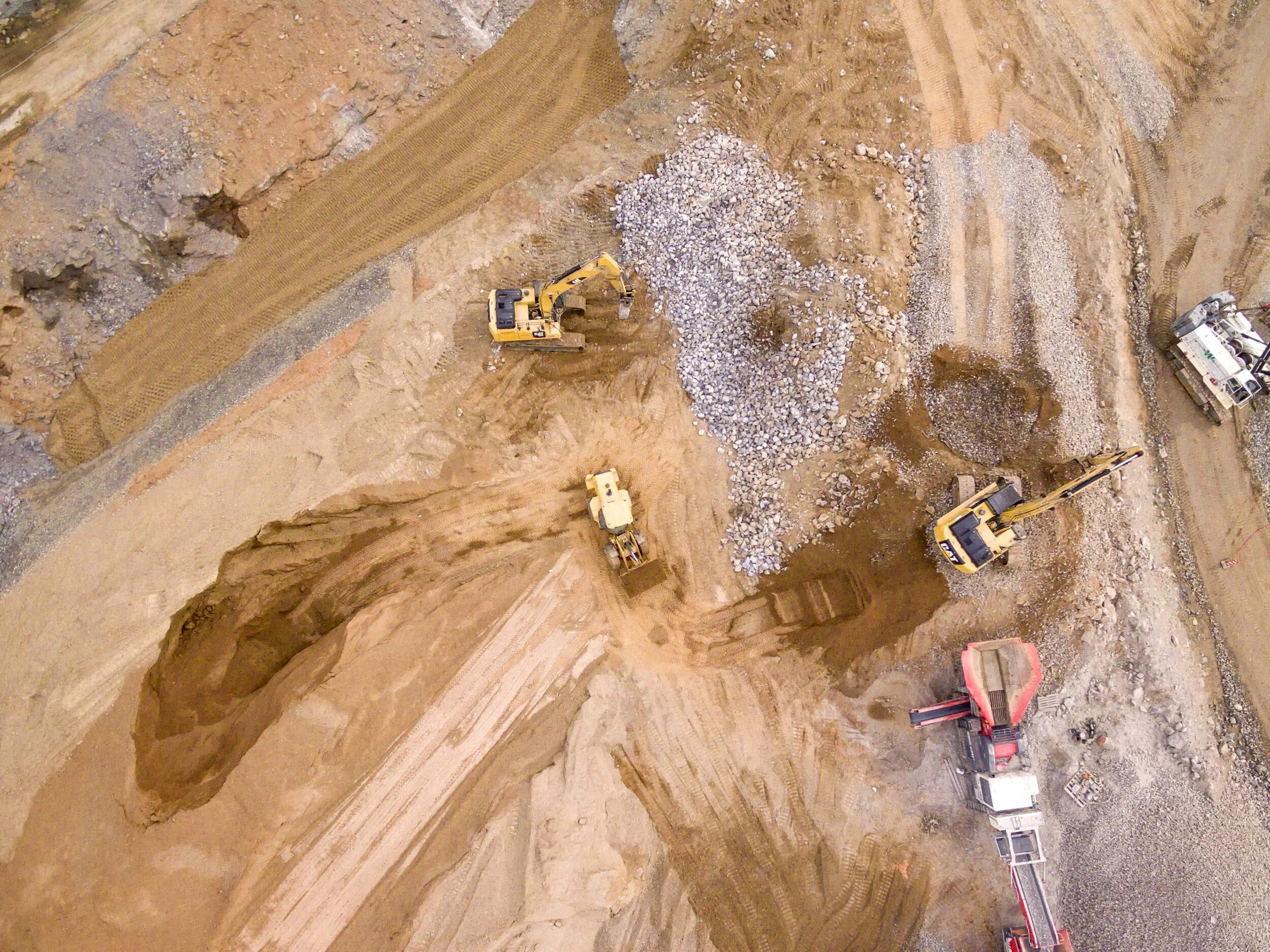
On November 4th, 2025, DJI announced the latest upgrade in their aerial lidar sensors, the Zenmuse L3.  But will it be a good sensor for surveyors?  And should US surveyors even consider investing in a DJI product given all of the regulatory uncertainties in the world right now?  Let’s dive into the details to find out. 

The DJI L3 Lidar System for Surveyors - A Technical Deep Dive
October 29, 2025
Guest User
The Uncomfortable Truth About DJI Drones

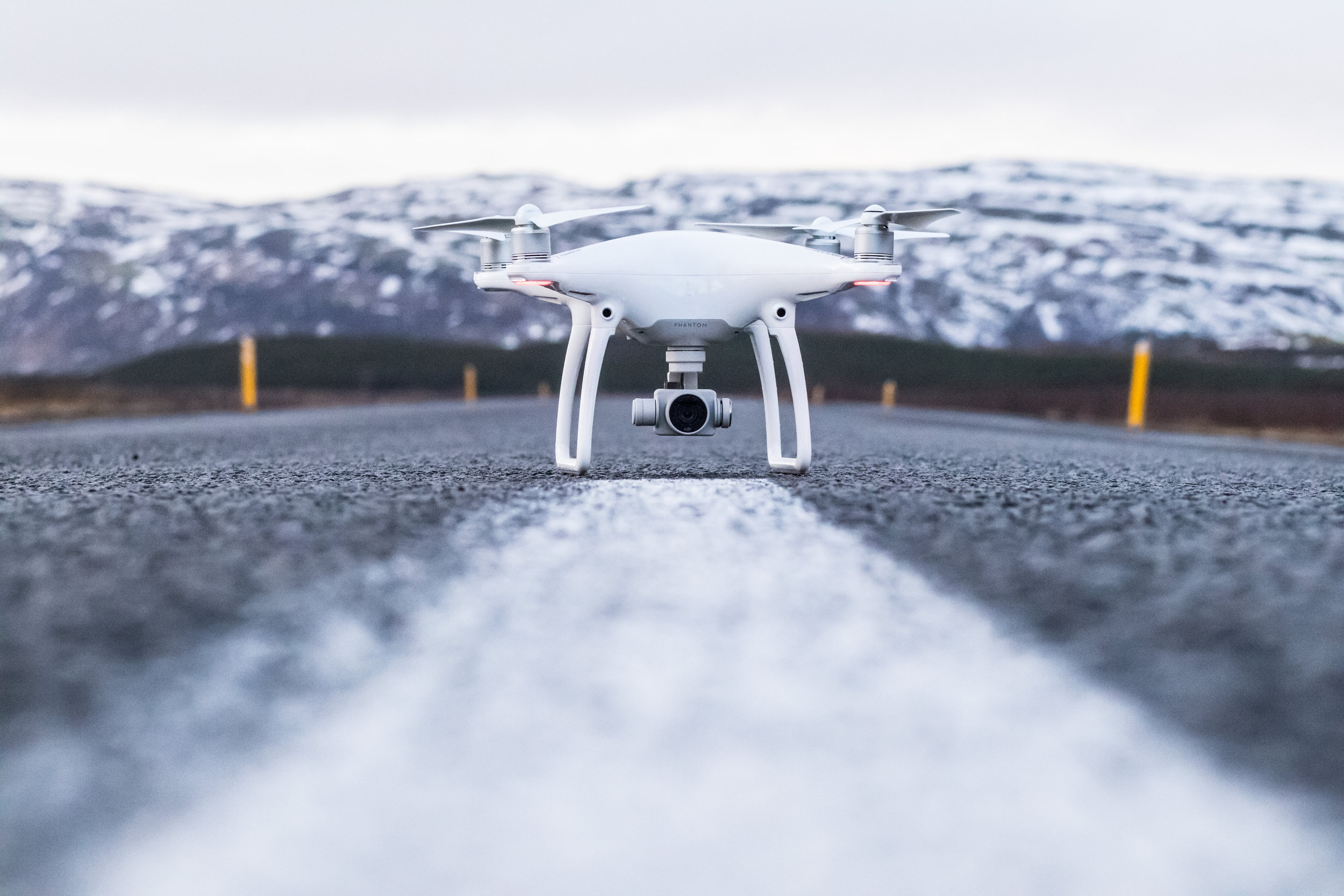
Here is the uncomfortable truth: no true peer competitor exists today. Dollar for dollar, DJI remains the best overall platform for most commercial applications. There is no close second. This post explains why, how to think about the current regulatory environment, and what that means for surveyors, civil engineers, or really anyone who cares about safety, turnaround time, and profit.

The Uncomfortable Truth About DJI Drones
October 15, 2025
Guest User
Aerotas ATK: Pushing the Boundaries of Advanced ...
June 6, 2025
Guest User
[Webinar] Mastering Aerial Lidar in Land ...
Guest User
April 14, 2020
Drone Surveying

Helping TD&H Engineering Survey More Land With Fewer People

Guest User
April 14, 2020
Drone Surveying
Helping TD&H Engineering Survey More Land With Fewer People

How Aerotas Helped TD&H Engineering Survey More Land With Fewer People

Guest User
April 7, 2020
Drone Surveying

ISPLS Webinar - Creating Surveys with Drone Data

Guest User
April 7, 2020
Drone Surveying
ISPLS Webinar - Creating Surveys with Drone Data

ISPLS hosted a webinar on Fri, Apr 3, 2020, where Aerotas CEO, Logan Campbell, presented advanced data processing workflows for creating surveys with drone data. Enclosed please find links to download the checklists, guides, and standards referenced in his presentation.

Guest User
March 26, 2020
Drone Hardware

Phantom 4 RTK: Enterprise Shield Renewal

Guest User
March 26, 2020
Drone Hardware
Phantom 4 RTK: Enterprise Shield Renewal

Phantom 4 RTK: Enterprise Shield Renewal

Guest User
March 16, 2020

Aerotas is Fully Operational and Open for Business

Guest User
March 16, 2020
Aerotas is Fully Operational and Open for Business

Aerotas is open for business as usual for any of your drone data processing needs.

Guest User
February 25, 2020

UCLS Conference 2020

Guest User
February 25, 2020
UCLS Conference 2020

Logan Campbell, CEO of Aerotas, spoke at the UCLS annual conference in St. George, Utah at the Dixie Convention Center. This is the video of his presentation along with the slides he used.

Tagged: Survey Conference

Guest User
January 6, 2020
Drone Operations

How to Safely Fly your Drone in the Winter

Guest User
January 6, 2020
Drone Operations
How to Safely Fly your Drone in the Winter

Flying in wintry conditions generally has little impact on the quality of the data, but there are a few things worth noting. Cold weather shortens flight time, and snow on the ground prevents planimetric feature marking.

Guest User
December 30, 2019
Drone Regulation

What the FAA Remote ID Rules Mean for Land Surveyors

Guest User
December 30, 2019
Drone Regulation
What the FAA Remote ID Rules Mean for Land Surveyors

The FAA recently released its proposed rules for the “Remote Identification” of drones and UAS. This article details the impact on surveyors.

Guest User
December 20, 2019
Drone Regulation

Clearing the Air About ADS-B

Guest User
December 20, 2019
Drone Regulation
Clearing the Air About ADS-B

DJI announced that all of their drones will have ADS-B In after January 1, 2020. This is confusing because starting January 1, 2020, all manned aircraft are required by the FAA to have ADS-B Out. The two are unrelated. You do not have to equip your drone with ADS-B In.

Guest User
December 3, 2019

POB: Finding A Place for Drones in Surveying

Guest User
December 3, 2019
POB: Finding A Place for Drones in Surveying

GeoDataPoint - UAVs | Finding A Place for Drones in Surveying

The steady rise of unmanned aerial vehicles still leaves surveyors and photogrammetrists with questions.

BY LINDA DUFFY

Source: https://www.pobonline.com/articles/101958-unmanned-aerial-vehicles-finding-their-place-in-surveying

Guest User
November 29, 2019
Drone Regulation, Drone Operations

FAA Authorization and DJI Geofencing are Two Different Things

Guest User
November 29, 2019
Drone Regulation, Drone Operations
FAA Authorization and DJI Geofencing are Two Different Things

If you are flying in controlled airspace you need to ensure that you have FAA authorization and that you have unlocked any DJI geofencing. These are two separate systems; there are TWO barriers to flight in controlled airspace.

Newer Posts
Older Posts
Back to Top
Pricing
Resources
Newsletter
Contact Us
AEROTAS | 9450 SW Gemini Drive PMB 58574, Beaverton, OR, 97008 |(949) 335-4323| info@aerotas.com
Aerotas Logo White - 150.png